Airport & Transportation Projects

Oakland Airport Property Biological
Resource Assessment
Port of Oakland Airport Authority
Location: Oakland, California
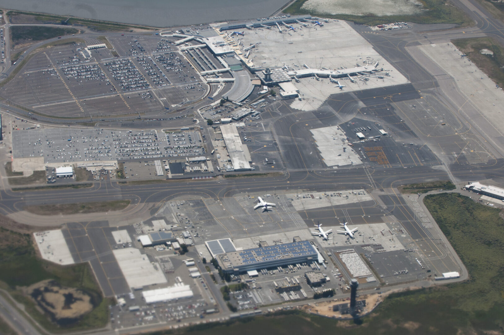
Summary: The 2,662-acre Airport site is located south of Oakland and Alameda and southwest of San Leandro. Of the 2,662 acres, 1,500 acres are undeveloped. In the undeveloped area, approximately 640 acres have been delineated in the past as waters of the United States. Most of that acreage has been technically defined as wetlands. Notwithstanding recent delineation efforts, however, the location and extent of wetlands at the Airport has long been an area of concern. Wetland delineations performed over the years have resulted in widely varying estimates of Corps jurisdiction on the Airport property. A delineation of the entire Airport property was conducted with special emphasis on areas where past delineations have reported differing acreages of Corps jurisdiction.
Services Provided: Biological/Botanical Surveys, Section 404 Clean Water Act Jurisdictional Delineation, Environmental Permitting feasibility Assessment, and GIS Support.
Interstate 80 / Interstate 680 / Highway 12 Interchange Project
Solano Transportation Authority
California Department of Transportation
Location: Solano County, California
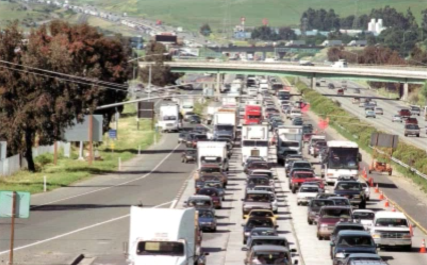
Summary: The Interstate 80/Interstate 680/Highway 12 Interchange Project area covered some 13 miles encompassing all three highways. The project involved improvements on an approximate 6.2-mile-long segment of I-80 between Red Top Road and Abernathy Road, an approximate 3.1-mile-long segment of I680 between Gold Hill Road and I-80, a 1.1-mile-long segment of SR 12 West (SR 12W) between 0.5 miles west of Red Top Road and I-80, and an approximate 3.0-mile-long segment of SR 12 East (SR 12E) between I-80 and Main Street in Suisun City.

Services Provided: Biological/Botanical Surveys, Section 404 Clean Water Act Jurisdictional Delineation, GIS Support, Environmental Permitting Assistance, Habitat Restoration Design, Mitigation Construction Oversight, Annual Mitigation Monitoring and Reporting, Regulatory Compliance Coordination, Conservation Easement Coordination, and Long-term Conservation Land Management.

Interstate 580 Widening Project
Alameda County Transportation Commission
Location: Alameda County, California
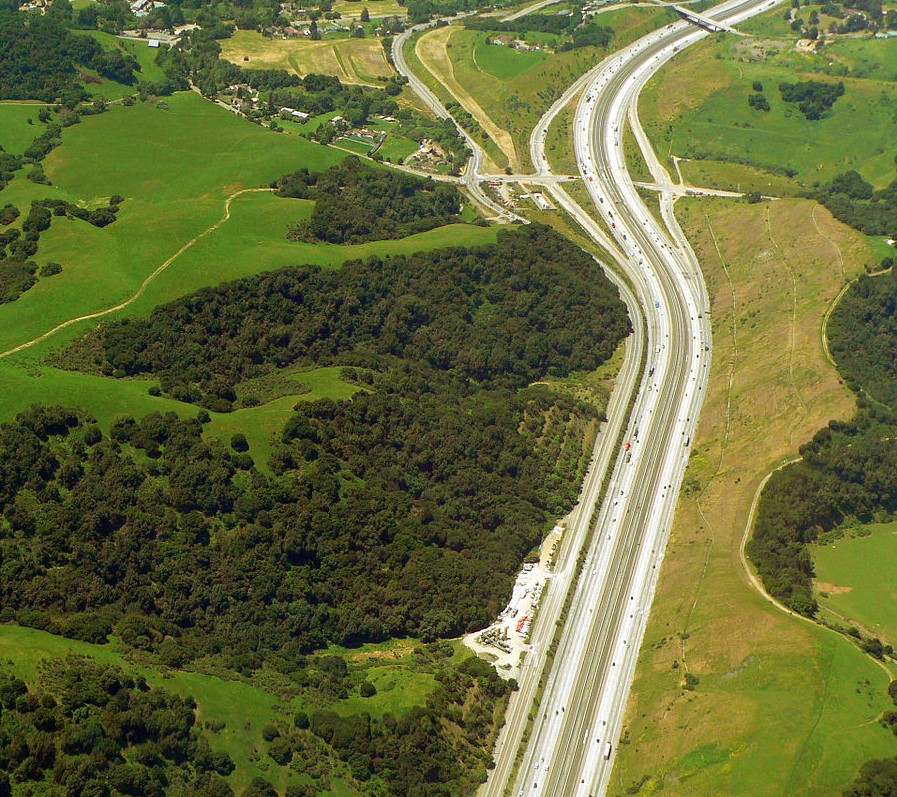
Summary: The I-580 Eastbound HOV Lane Project included the widening of two bridges over Arroyo La Positas and the extension of an existing box culvert that conveys Arroyo Seco under I-580. The Project also included numerous other relatively small improvements such as constructing inside and outside shoulders in the eastbound direction, constructing retaining walls as necessary to reduce right-of-way acquisitions, and replacing a concrete-lined drainage ditch with a culvert in three locations.
Services Provided: Habitat Restoration Design, Mitigation Construction Oversight, Annual Mitigation Monitoring and Reporting, Regulatory Compliance Coordination, Conservation Easement Coordination, and Long-term Conservation Land Management.
Olberding Environmental, Inc.
"Providing professional consulting services since 1997"
